A first-of-its-kind experiment led by researchers from The Australian National University (ANU) could help make sure communities around the world are better prepared to deal with earthquakes.
The experiment was conducted along the Alpine Fault in New Zealand – a geological fault that runs nearly the entire length of the South Island and forms the boundary between the Australian and Pacific tectonic plates.
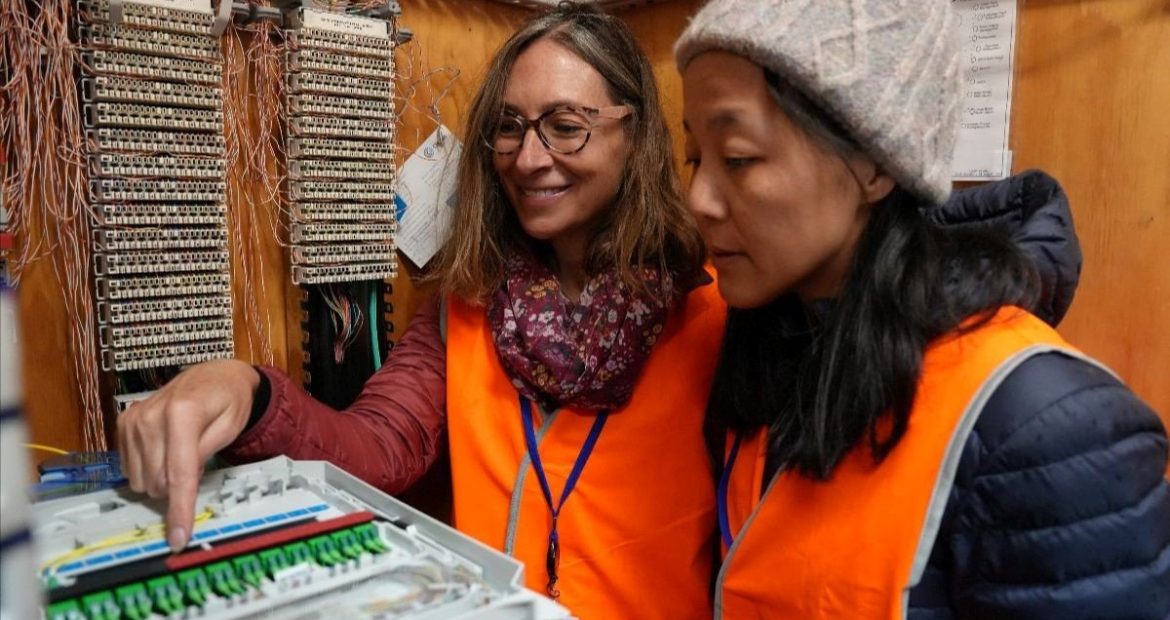
The project uses an emerging technology called distributed acoustic sensing (DAS), which involves shooting lasers down fibre optic cables – known as “dark fibre” when not being used for telecommunications – to sense and record what’s happening below the Earth’s surface.
According to Professor Meghan Miller from ANU, the active nature of the Alpine Fault makes it a unique location to delve deeper into how earthquakes happen and how the Earth moves in their aftermath.
“I don’t know of any other DAS experiment like this being done across a major active plate boundary,” Professor Miller said.
“Investigating earthquakes and seismic waves often involves the use of individual instruments called seismometers. These instruments are placed tens or even thousands of kilometres apart.
“But when we use a DAS interrogator on dark fibre we’re sampling every few metres, so in this case we have 8,000 individual sensors across the fault instead of just one or two, giving us an extraordinary amount of data – roughly one gigabyte per minute.
“We can’t predict earthquakes, but we can better prepare for them. This is one of the ways we can prepare – by getting more information about faults and how earthquakes rupture.”
The AlpineFault is similar in nature to the East Anatolian Fault that caused the devastating quake in Türkiye and Syria recently. According to the research team, the lessons learned from this experiment could save lives.
“We know major earthquakes – magnitude 7.5 or 8 – occur along the Alpine Fault on average every 260 years. The last one was about 306 years ago, so there is a significant chance of a major rupture in the next 50 years, which makes the experiment all the more critical,” Professor Miller said.
The project will also record ground motions produced by things such as rock falls, avalanches and vehicle traffic that can be used for imaging the fault beneath the surface.
“The closely spaced sensors will help us detect very weak earthquakes occurring at depth on the Alpine Fault and also help us see the fault structure, which will help us understand how big earthquakes can happen,” Dr Voon Hui Lai said.
“The results could also help governments with planning and hazard mapping. This is just the beginning in terms of making use of this exciting new technology.”
The project is a collaboration between researchers at ANU and Victoria University of Wellington in New Zealand, with support from Chorus, who manage New Zealand’s fibre network, and the Australian Research Council (ARC) Future Fellowship ‘Lighting Up Dark Fibre for Seismic Imaging’.
The study was enabled by AuScope and the Australian Government via the National Collaborative Research Infrastructure Strategy (NCRIS).
This article was originally published on ANU Reporter.


